I did this route many years ago and decided to revisit it. The first time I had to cut it short when a serious Dartmoor mist came in and I couldn’t see 5m in front of me. That time I dumped Cramber Tor and made my way back to the car early. Although I’ve visited Cramber Tor since via another route, I wanted to retry this one.
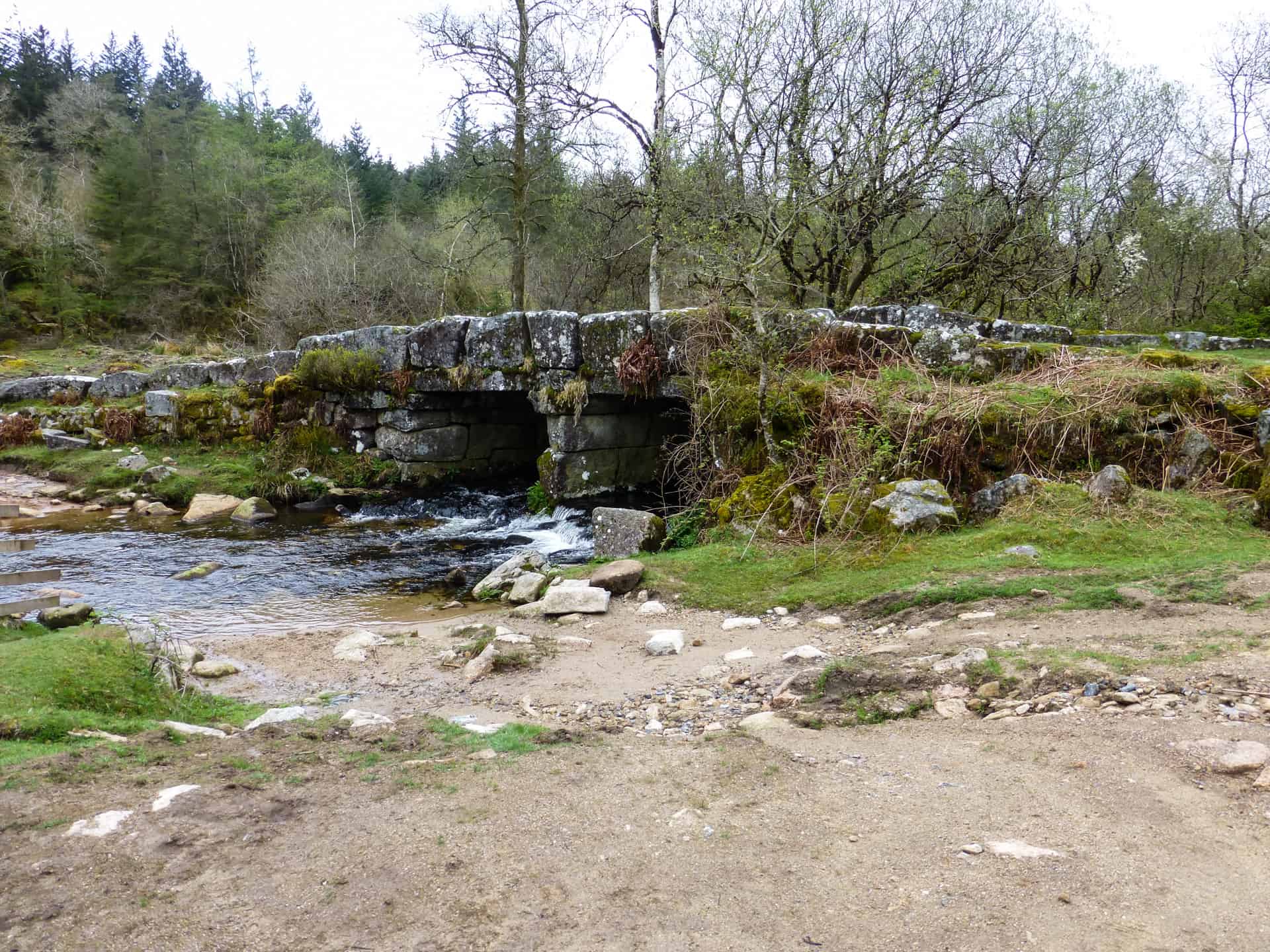
I parked my car at Norsworthy Bridge Carpark(SX568693 / PL20 6PF) and headed up the track through Norsworthy & Raddick Plantations for about 700m until I came across Leather Tor Bridge. This was built in around 1833 and is a well preserved example of a Dartmoor Clapper bridge.
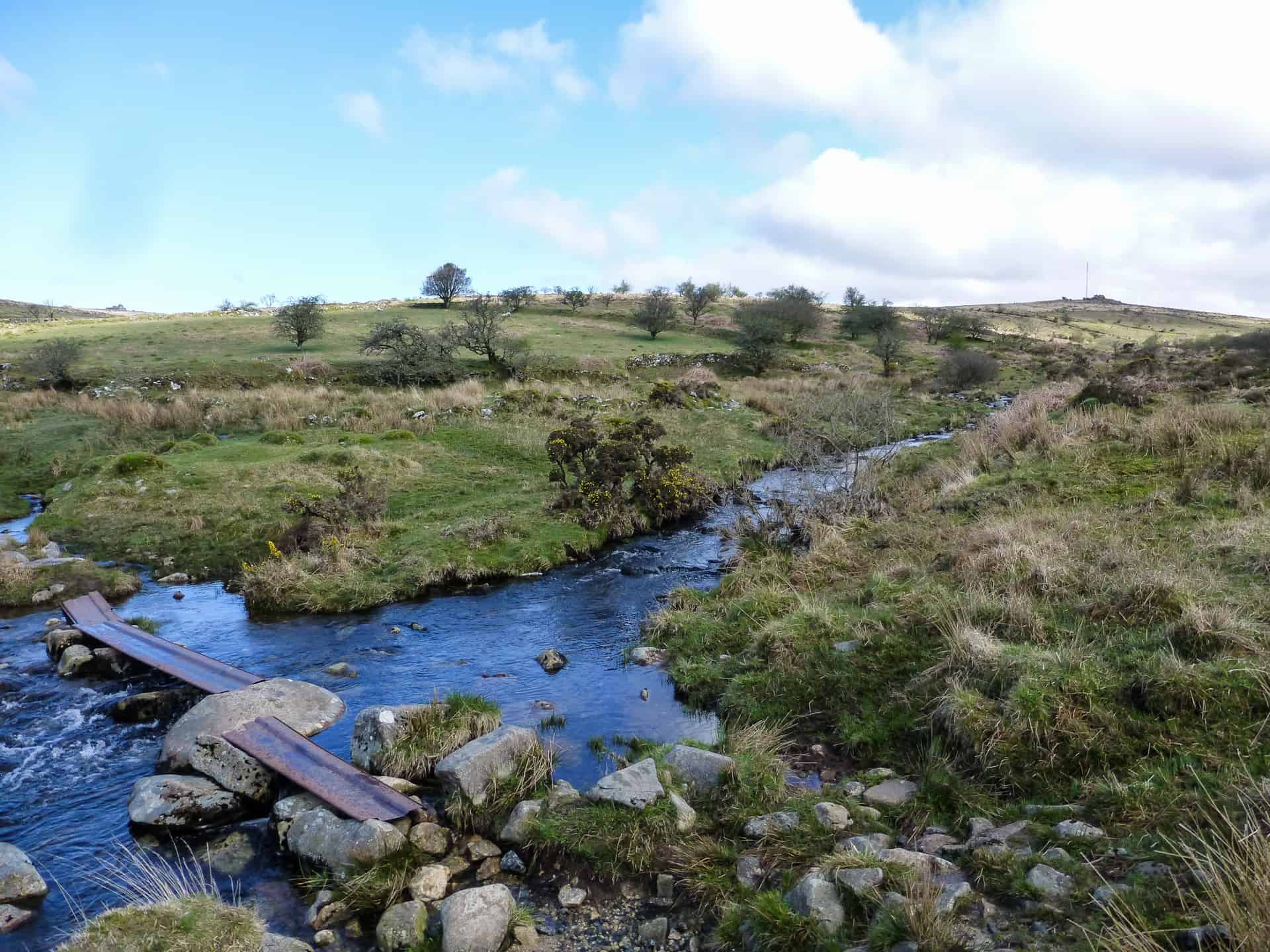
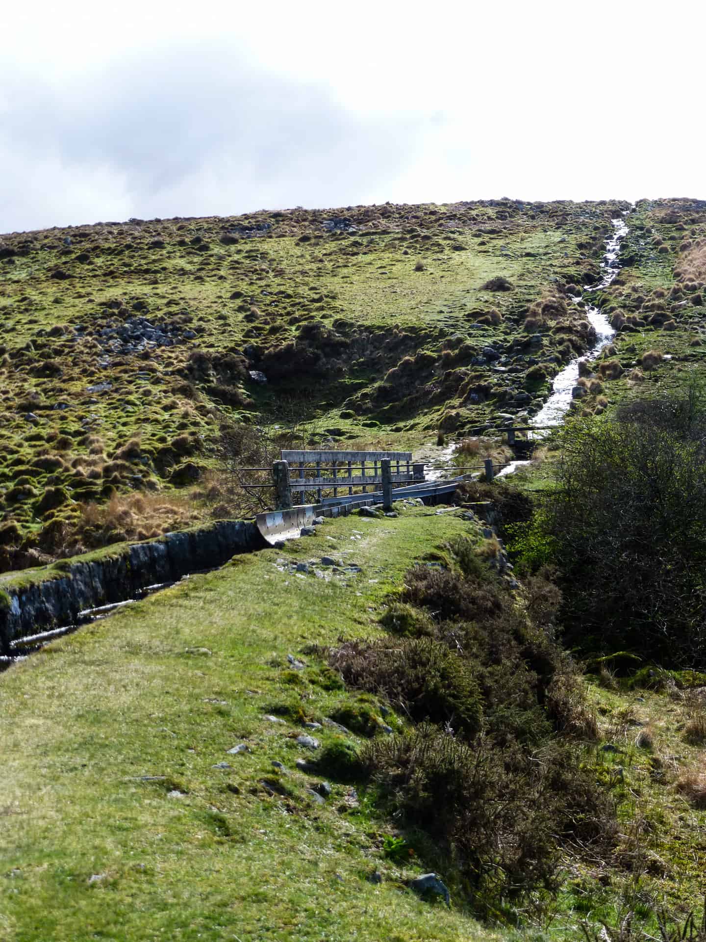
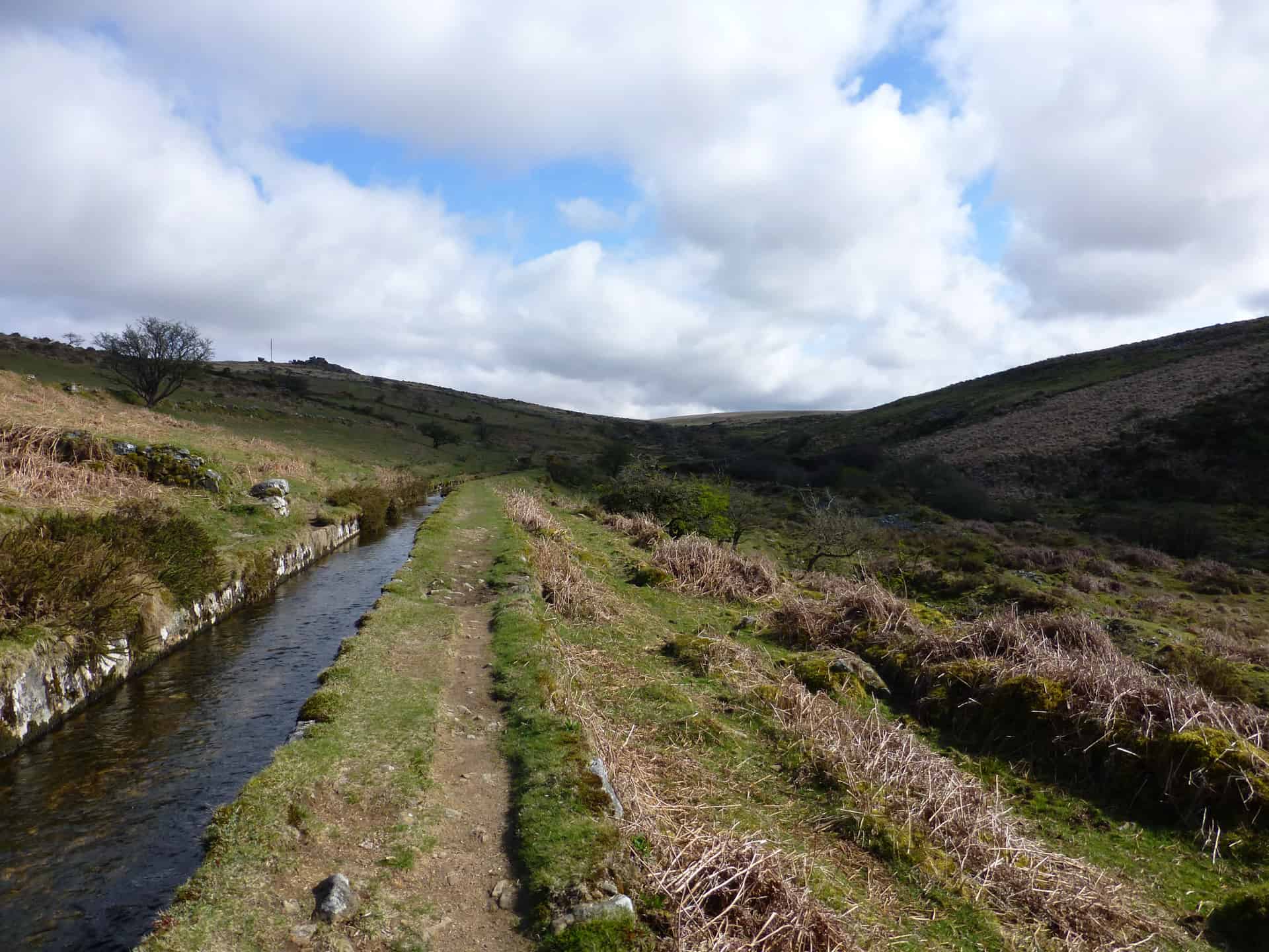
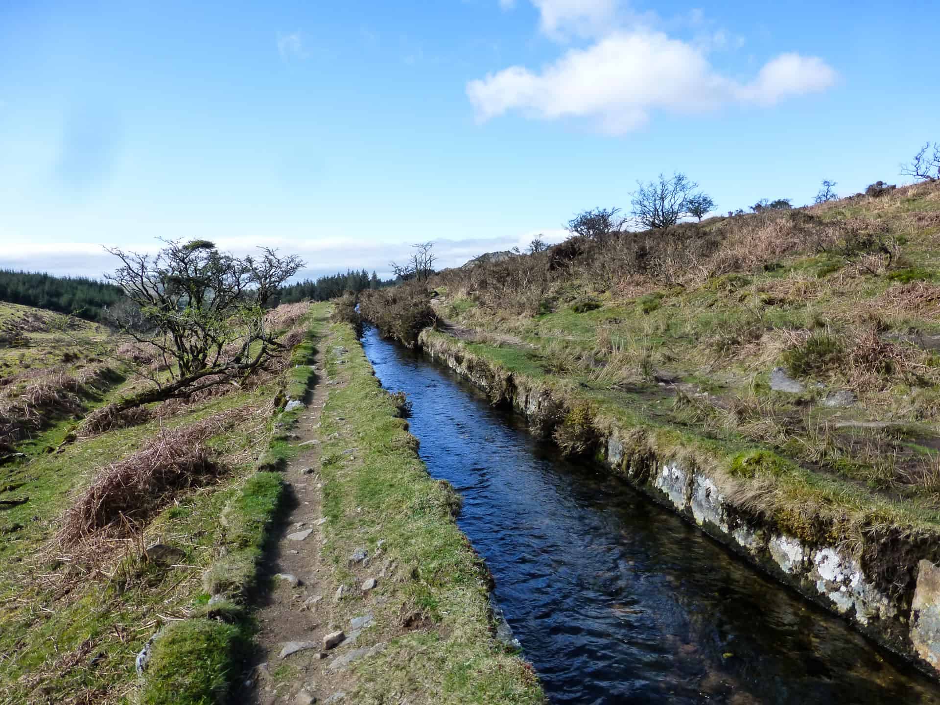
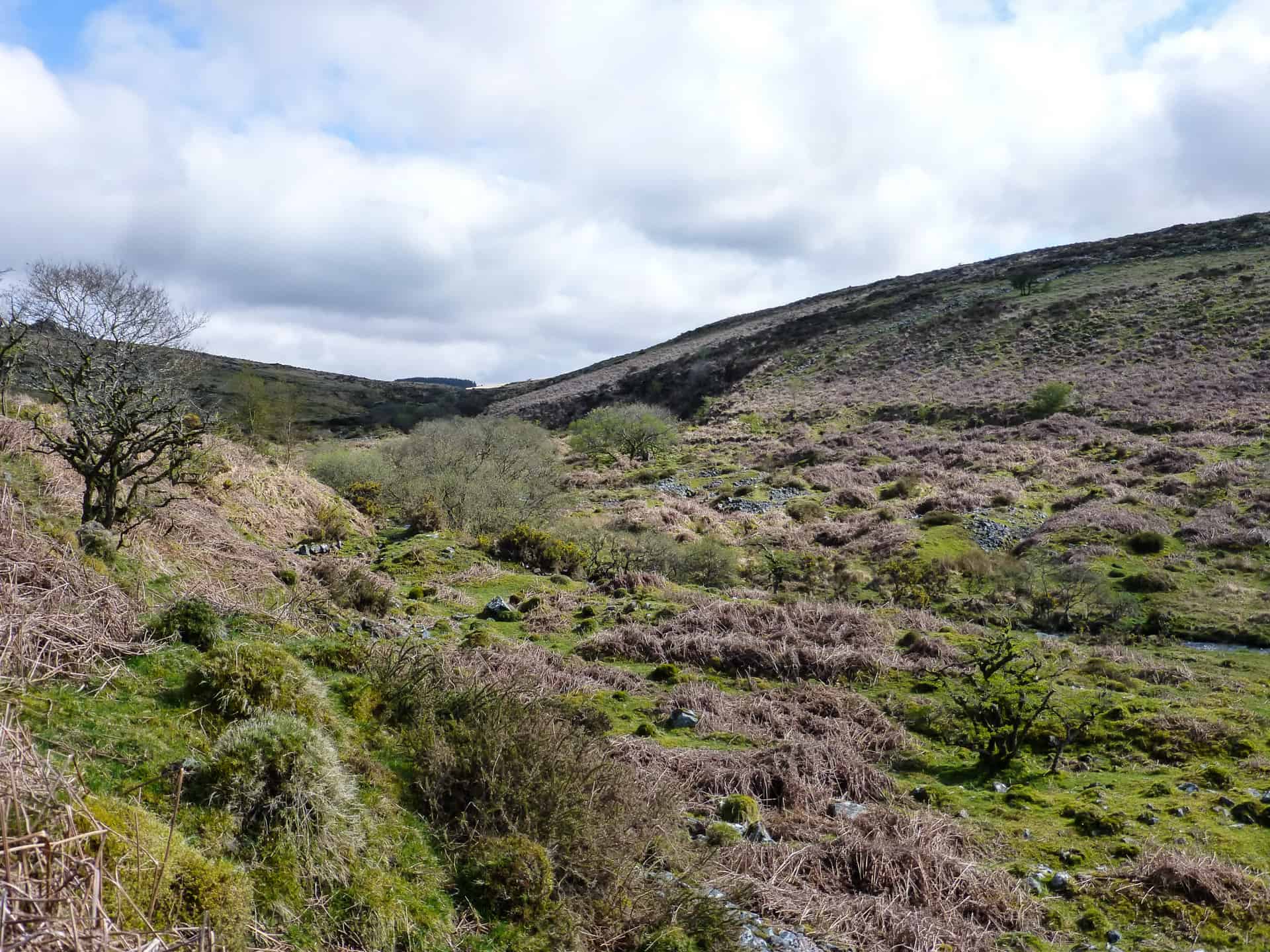
 Carrying on up the track for another 800m or so the woodland eventually gives way and I found myself in the Meavy Valley, a shallow and pretty little valley that bears the scars of extensive tin mining. The valley itself has many shafts that have been capped, large spoil piles, cuttings and ironwork still laying around. Having walked this route before I had made a note that it was easier to keep to the open hillside on the left-hand side of the valley are the floor was hard going with the mining spoil laying around so I headed across the little ‘bridge’ (which is just a couple of steel planks) and up onto the valley side. I headed up the valley toward Black Tor I came across Devonport Leat, a leat that once fed water straight to Devonport and the Royal Navy Dockyard. It was built in the late 1700’s and is fed by three rivers, the Cowsic, West Dart and Blackbrook rivers. Its head sits about 7.5km further North close to Whistman’s Wood. These days the leat only runs as far as Burrator reservoir however there are sections of it still preserved on Roborough Down. As you continue up the valley you come across Meavy Aqueduct where the leat crosses the River Meavy before being redirected into the stone channel to continue its journey down the Meavy Valley.
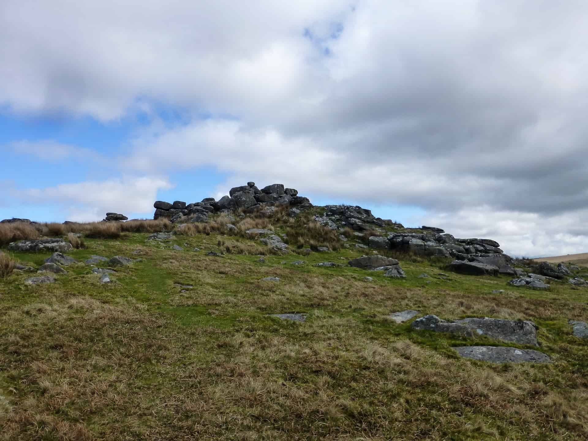
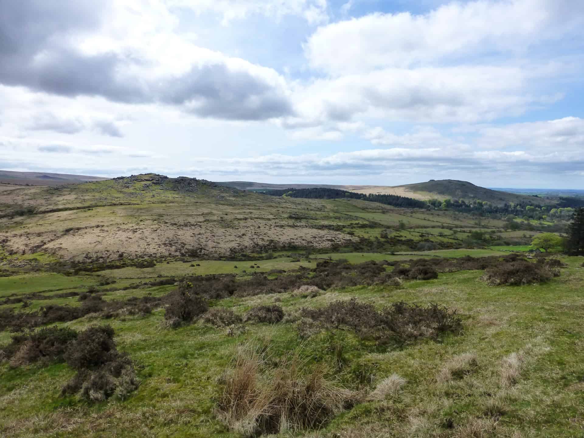
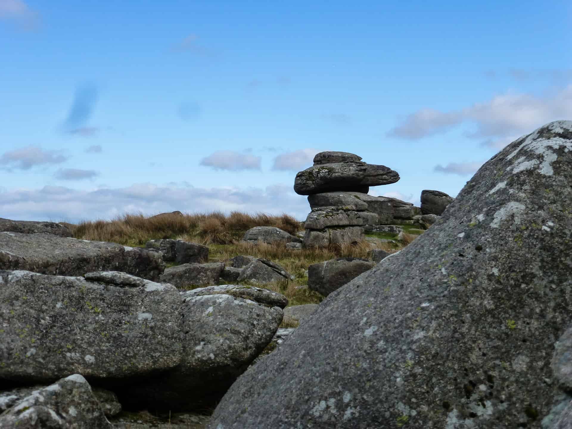 I started to climb higher up the valley until I reached Black Tor. Perched at the head of the valley as it opens out onto Walkhampton Common, Black Tor is one of three Black Tors on Dartmoor (one is high on the North Moor in the West Okement Valley, and the other on Brent Down). It also has one of the fabled ‘Logan Stones’ on the top. Logan stones are the result of weathering and gives the impression of one stone balancing precariously on top of another. Some of the logan stones on Dartmoor appear to defy gravity!
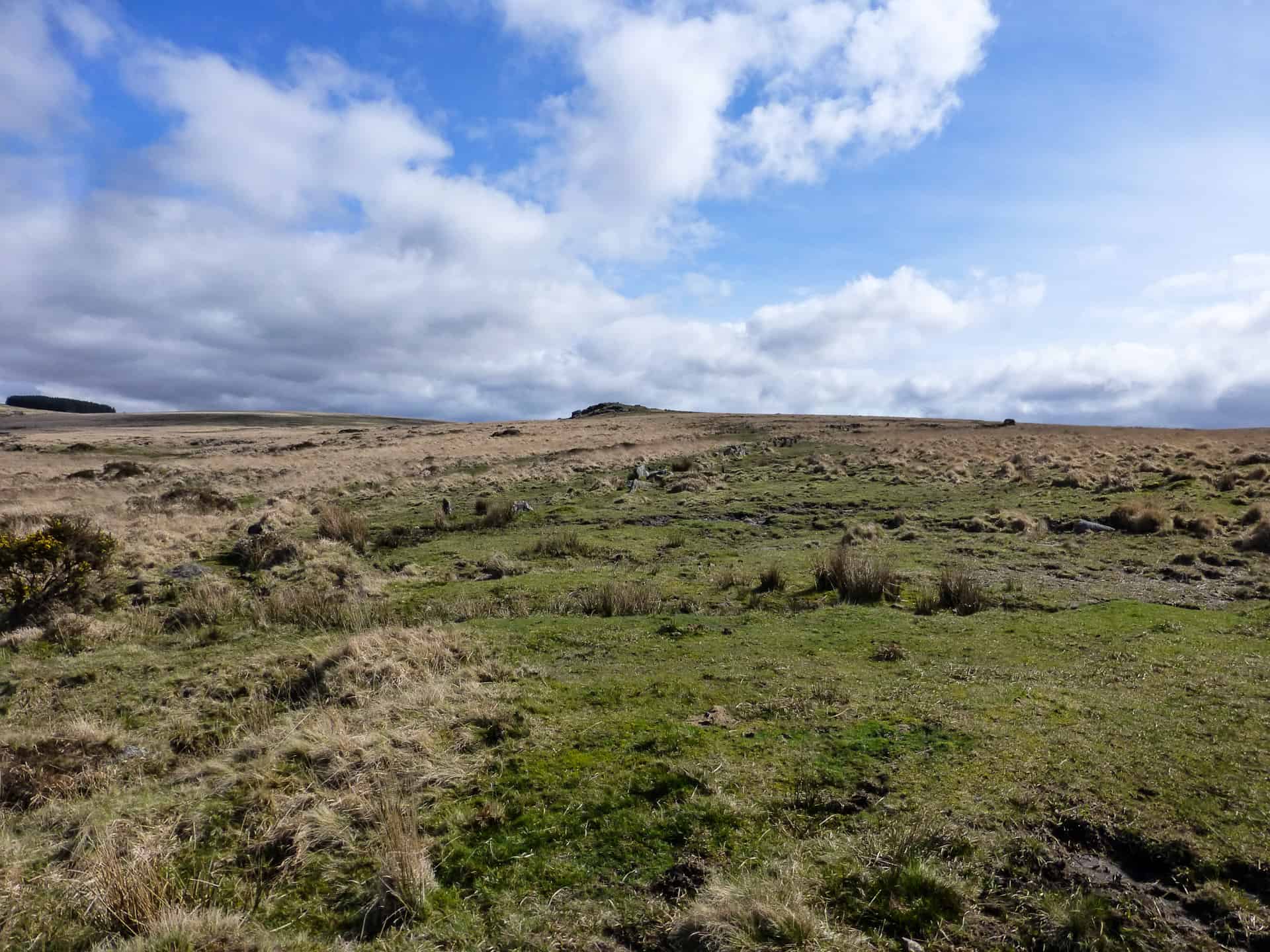
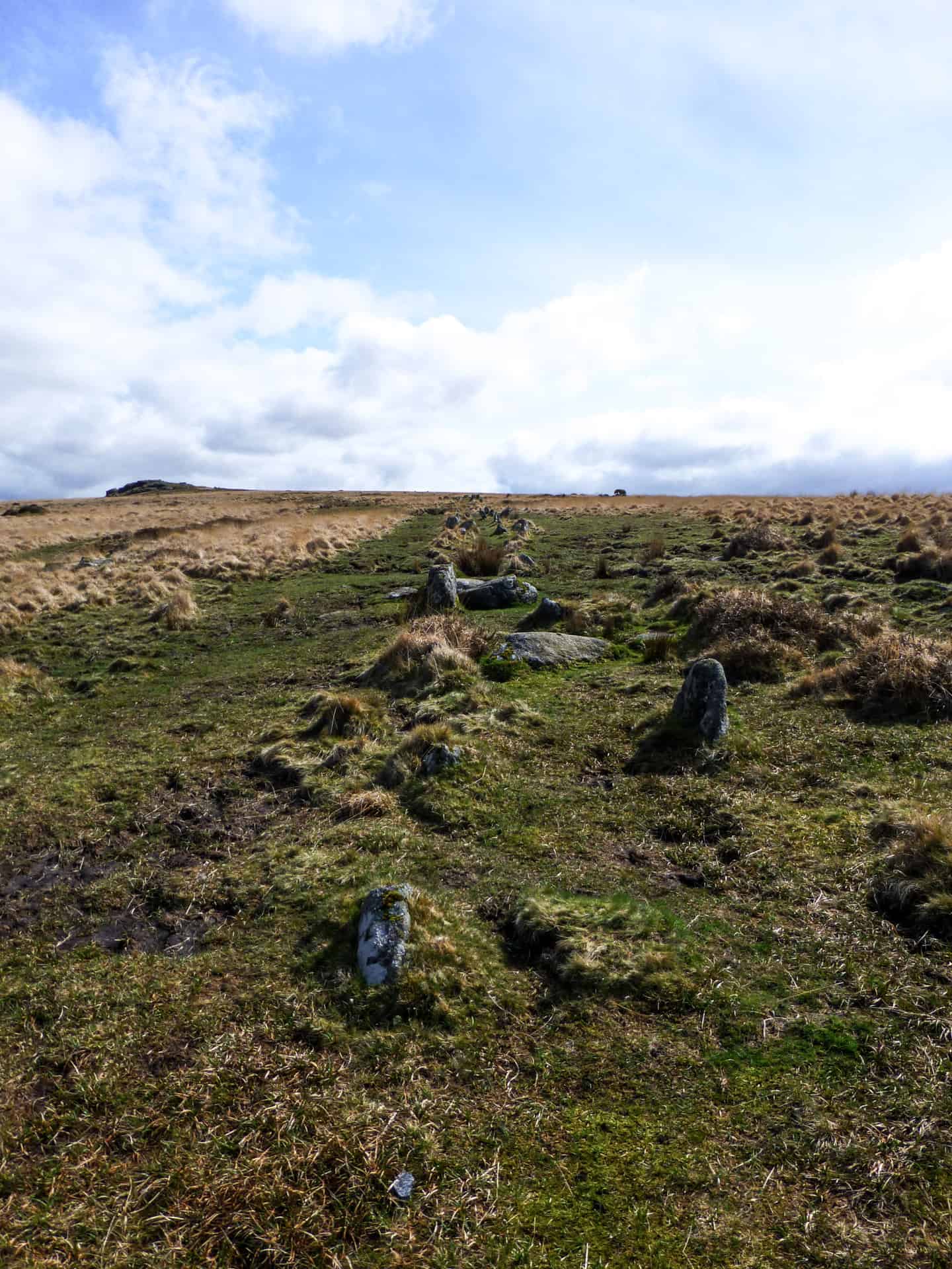 From Black Tor I headed back down to cross the River Meavy at an obvious spot and on the other side as I started the climb toward Hart Tor I found some rather impressive stone rows, one on its own and a second consisting of a pair running parallel. These rows are about 130m long and eventually end at a pair of cairns on the slope leading up to Hart Tor. As with most of the stone rows and cairns found on Dartmoor, the rows are believed to be Bronze Age and could be in the region of 4000 years old. There are thought to be over 76 stone rows on Dartmoor and there is still much discussion as to their existence. They nearly always exist with stone circles or cairns at one end or the other and often burial ‘kists’. Some rows are short (< 100m) while others can go on for km (Staldon Stone Row is reported to be 3.39km)
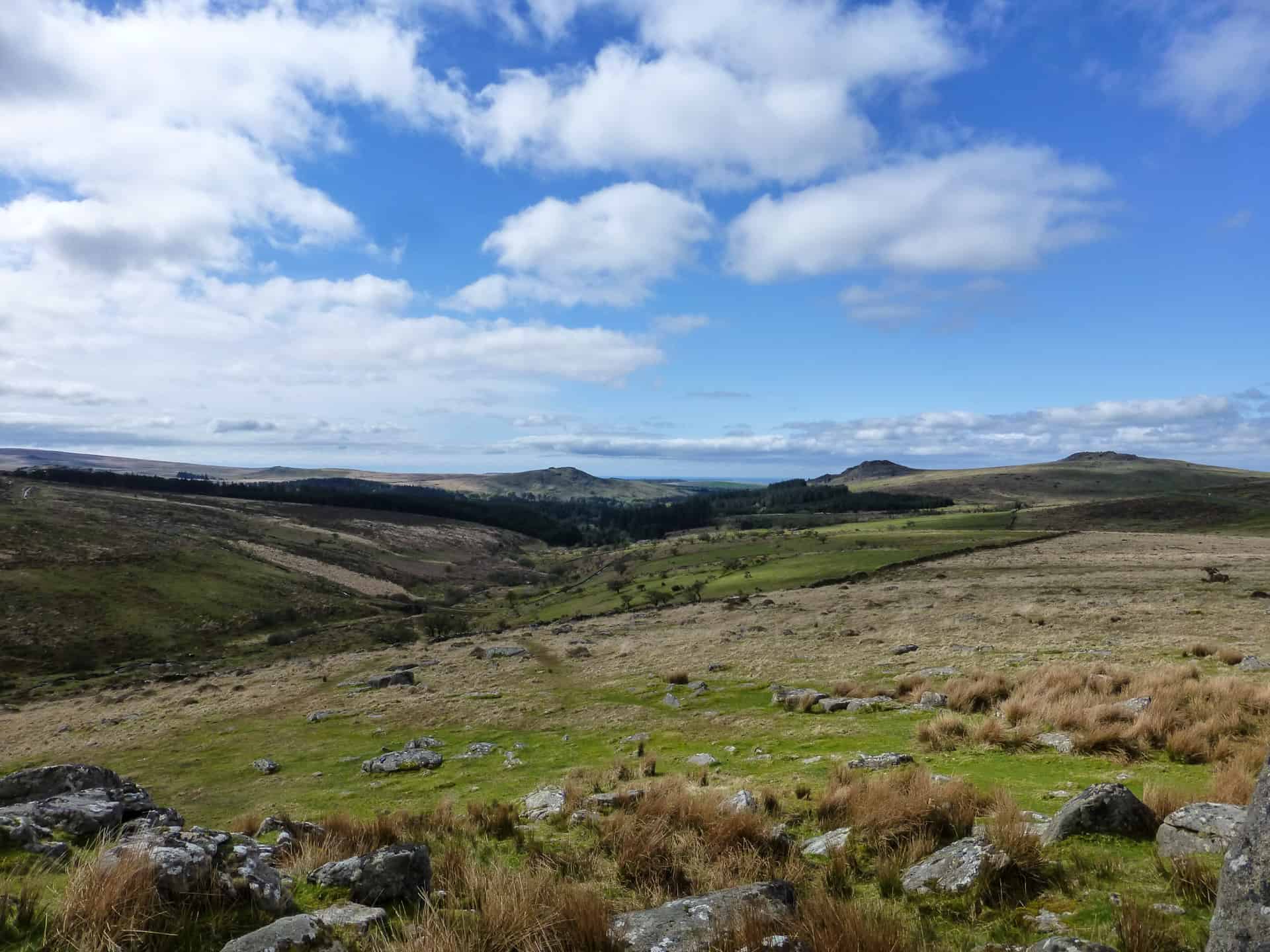
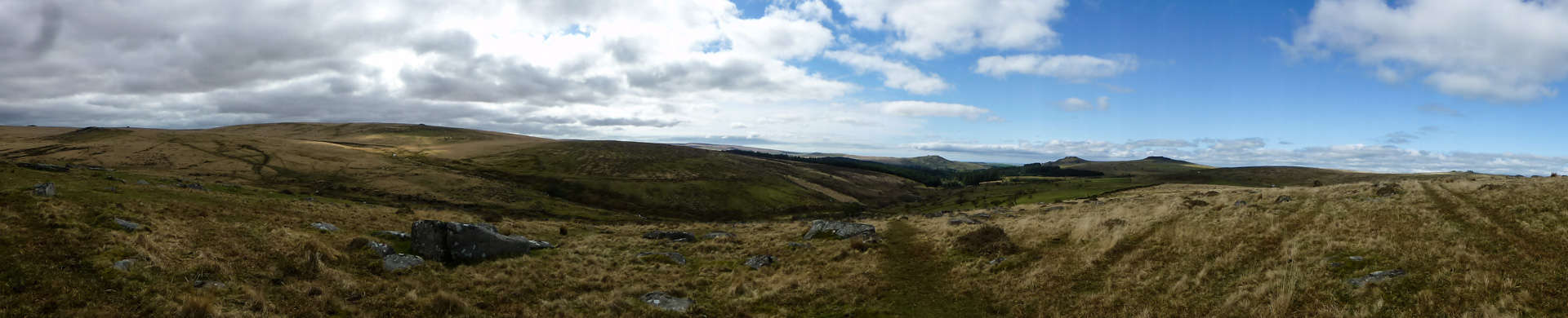
Continuing up toward Hart Tor I finally reached the top and sat for a while to take in the rather spectacular view over Walkhampton Common. Although I didn’t explore it on this walk, there is an old rifle range on the north side of Hart Tor that dates back to the early 1800’s and the old yardage marker stones can still be found with a bit of a hunt.
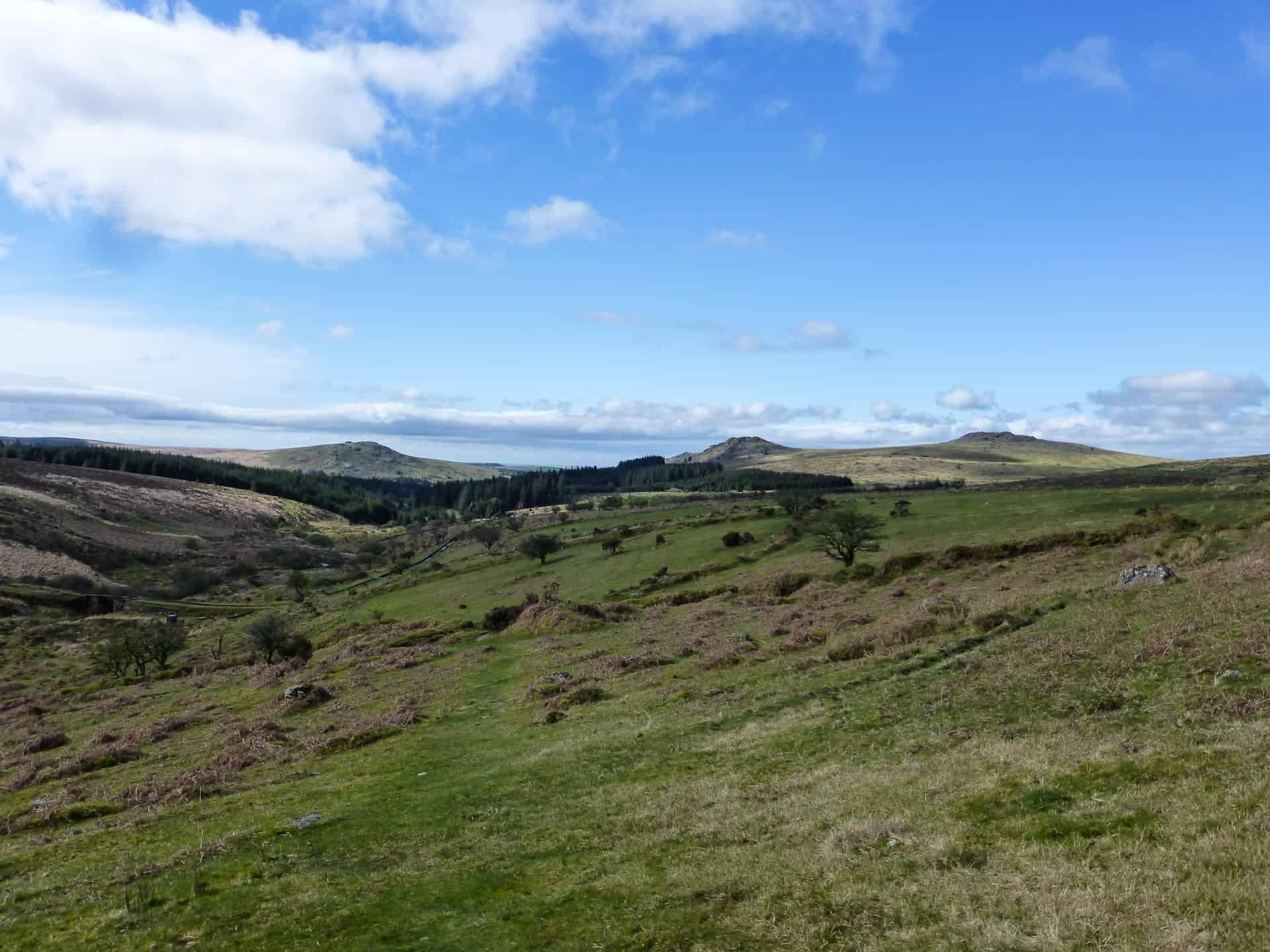
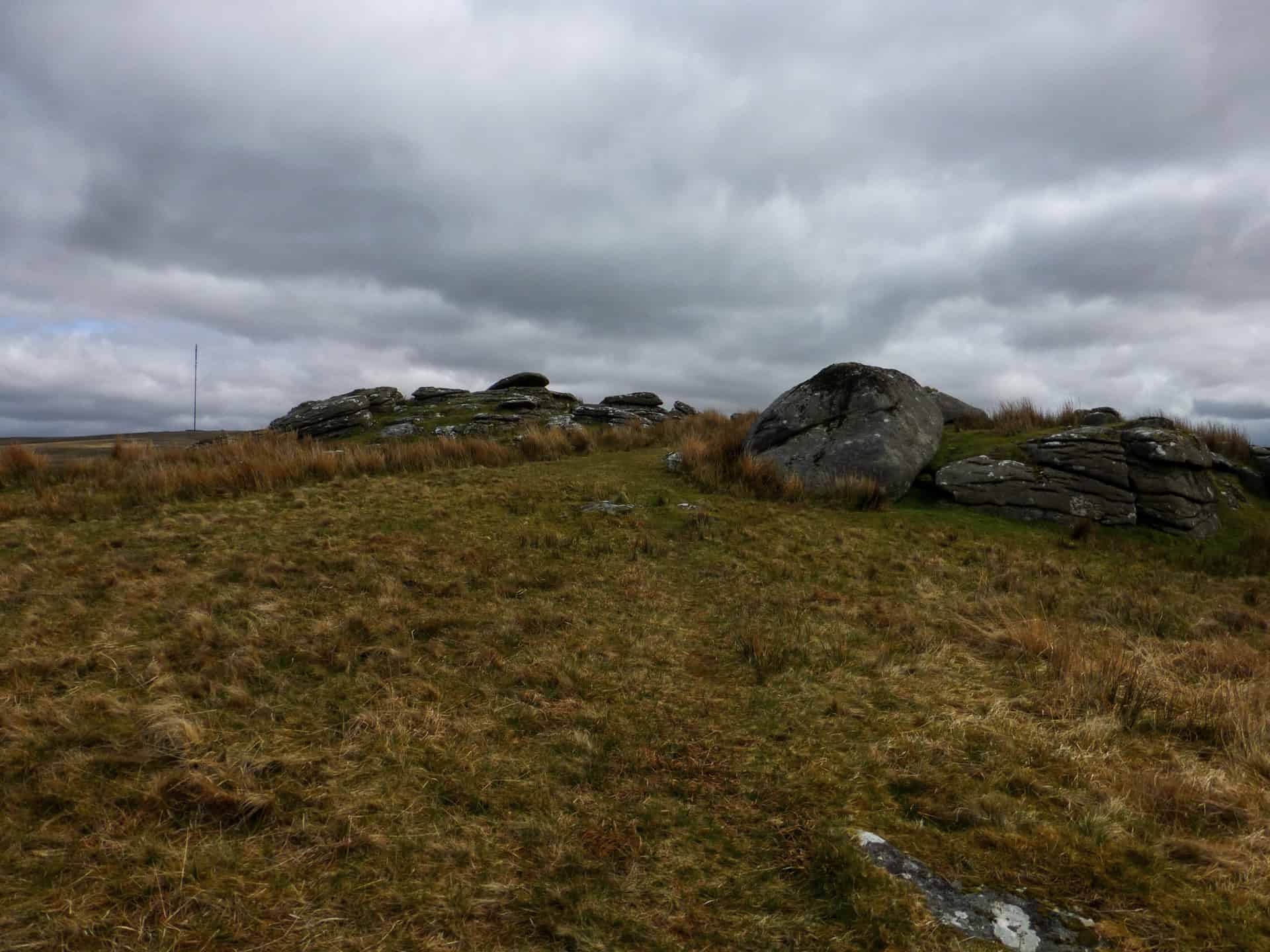
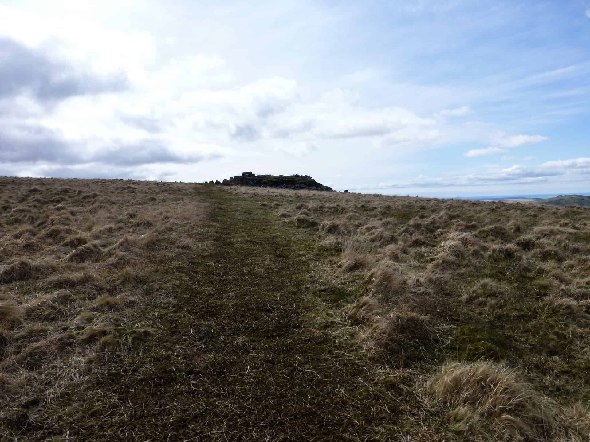
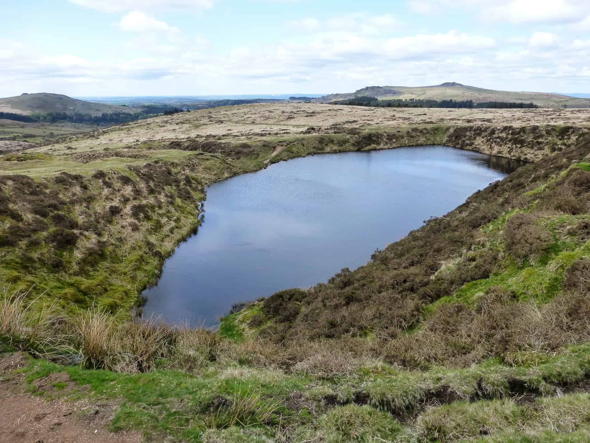
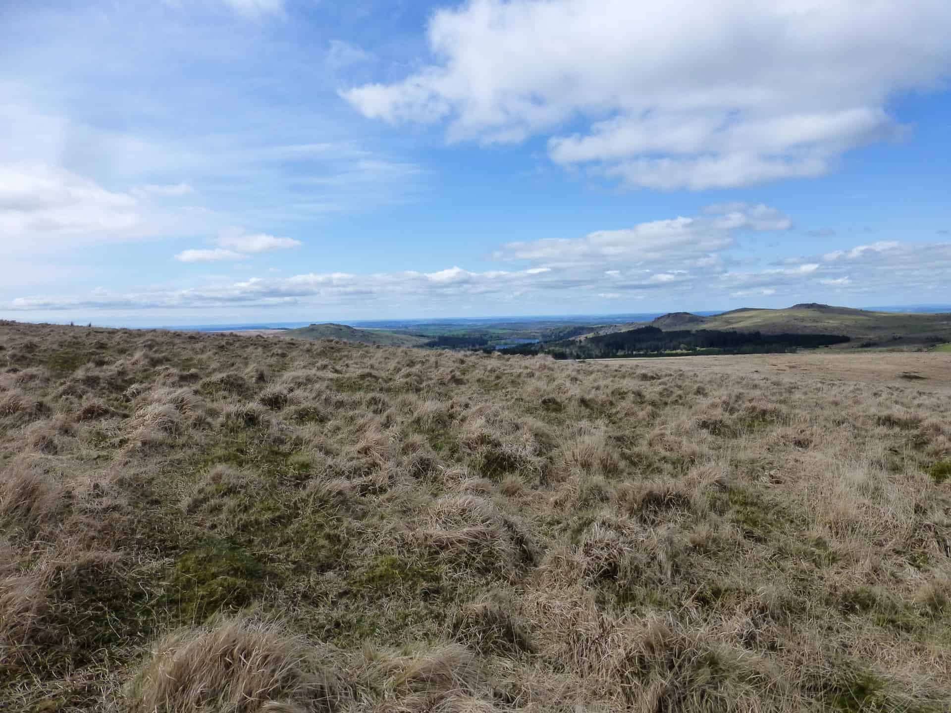 The last climb of the day was up to Cramber Tor. Heading SW from Hart Tor I crossed the boggy ground around Hart Tor Brook and started in the steep climb up to the summit. As you get toward to the top, the view really opens up until you are presented with a magnificent view stretching right out to Hen Tor and the Trowlesworthy Tors in the S and across toward Tavistock in the East and the big Tors to the NW. Cramber Tor itself is a low level flat pile of rocks perched on the side of Riddick Hill. There is very little to see there however I continued due S for about 700m and found Crazywell Pool. The pool was formed in a hollow left by early Tin Miners. There are no natural lakes found on Dartmoor and so Crazywell looks quite out of place in the landscape. Although man-made it is steeped in myth and legend; the most famous myth being that it was bottomless and according to local here say, the locals of near-by Walkhampton took the bell ropes from the church, tied them together and lowered them into the dark waters of Crazywell. At 500ft long, the rope still didn’t touch the bottom. The bottomless theory was later disproven when it was pumped out and in fact at its deepest, is only 5m. Other legends say that the water level rises and falls with the tides and that it is haunted by the Witch of Sheepstor. These days the Royal Marines frequently use the pool during training.
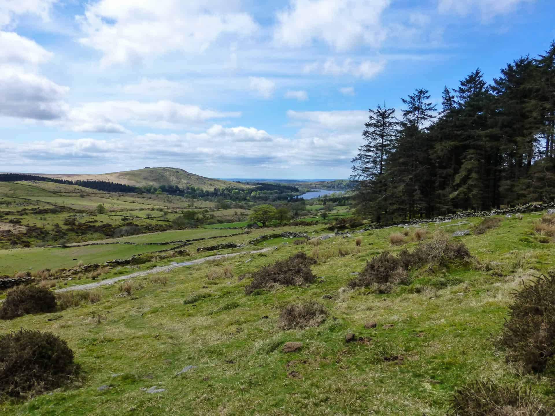
From Crazywell pool I headed back into the forest at the north-eastern edge of Burrator where I picked up a bridal path which eventually led me back to the car park at Norsworthy Bridge. This is the third time I’d walked this route and it was still as enjoyable as the first time. There are plenty of historical artefacts along the way and although you are never far from a road, at times you can feel really remote. It’s a lovely part of the Moor and often overlooked I feel.
Walk Summary
 Distance
 Ranges
 Bogs
Bogs
 Difficulty
Route
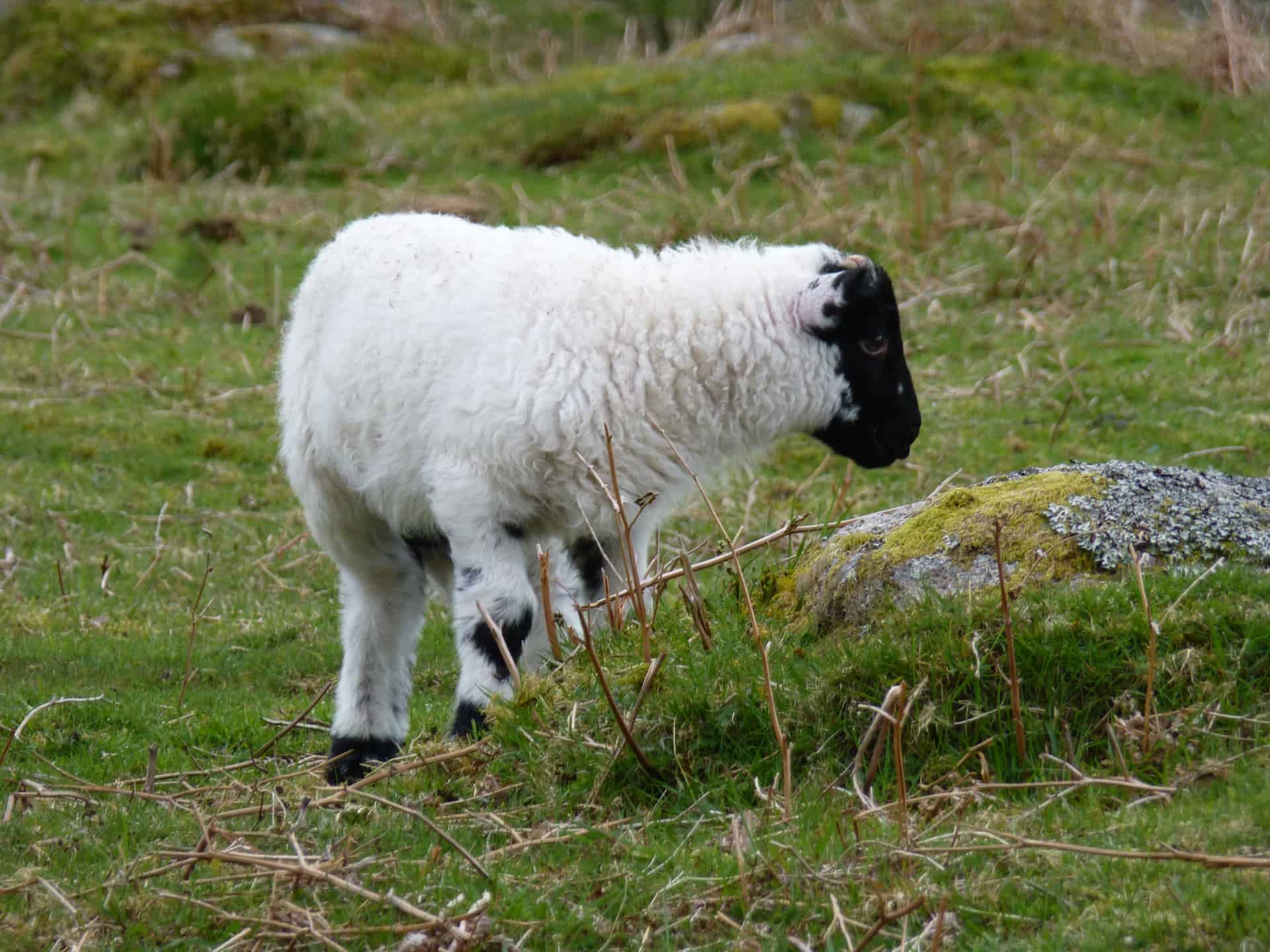
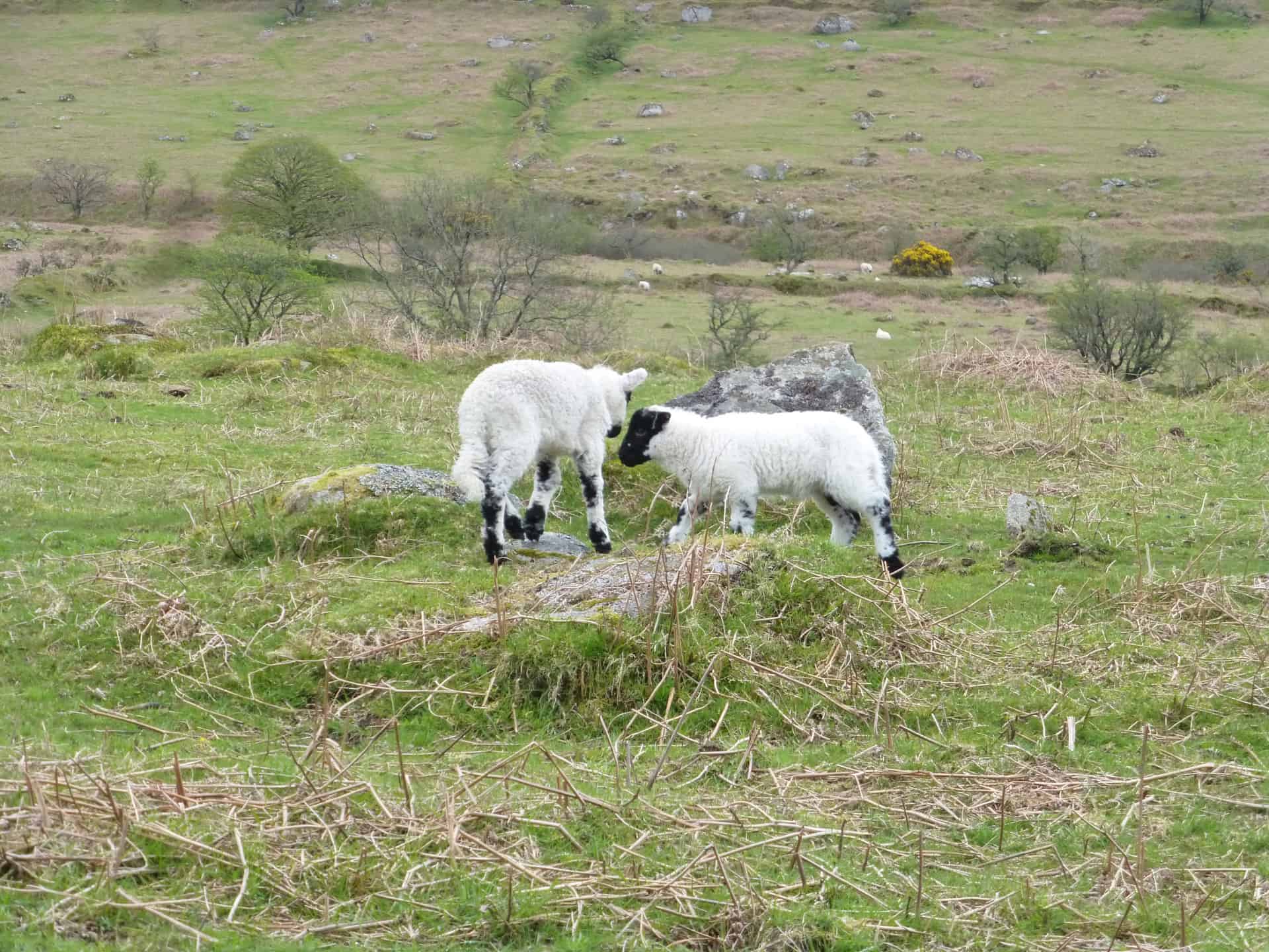
Download my GPX filePhotos from this walk