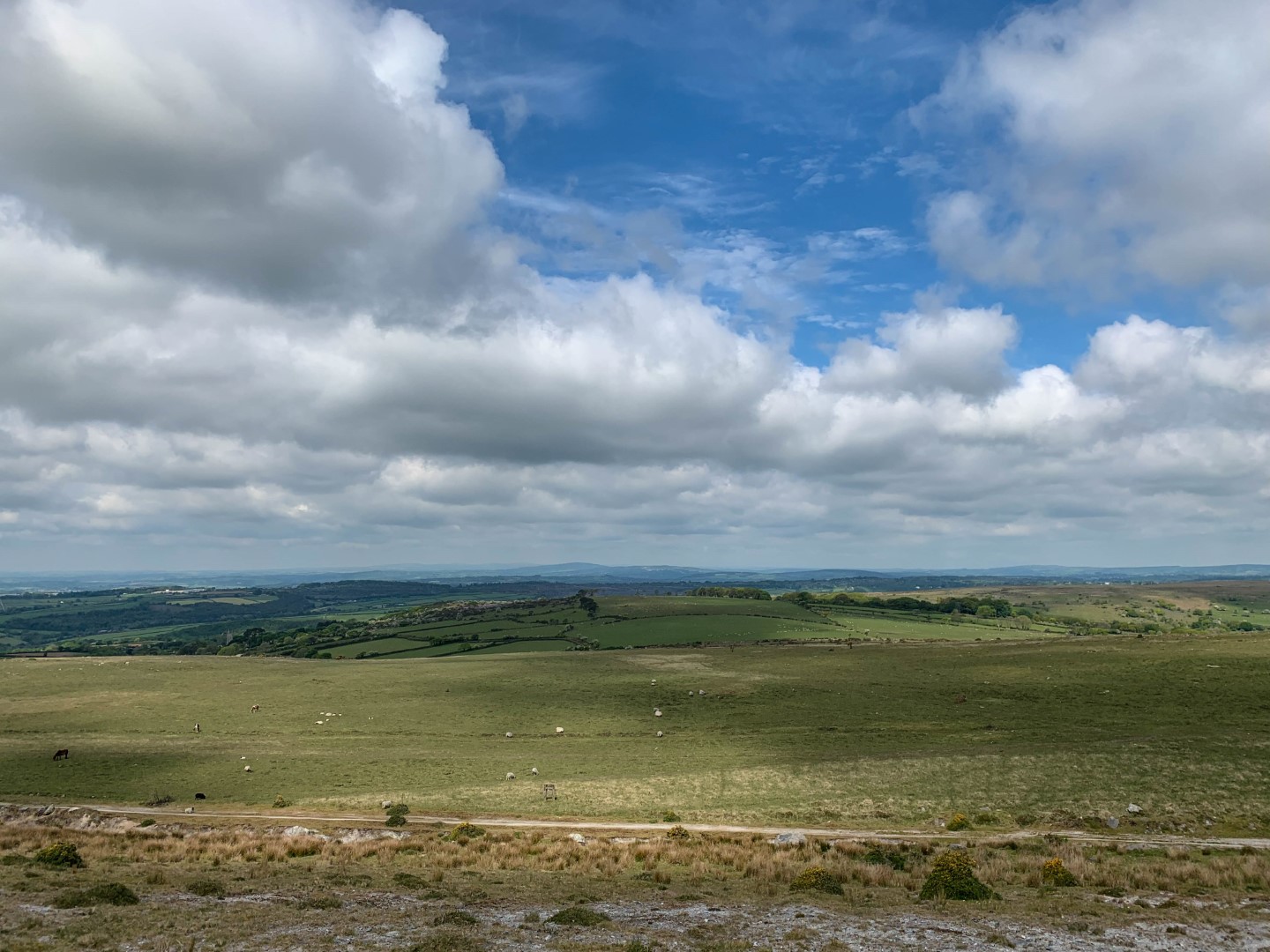
Another week has passed and the fine weather has continued. I’d had a really busy week and was really looking forward to some downtime out on the Moor. I decided on keeping ‘local’ this week and looked at shortish walk and a couple of small tors over towards Wotter, right on the edge of the park boundary with Lee Moor.
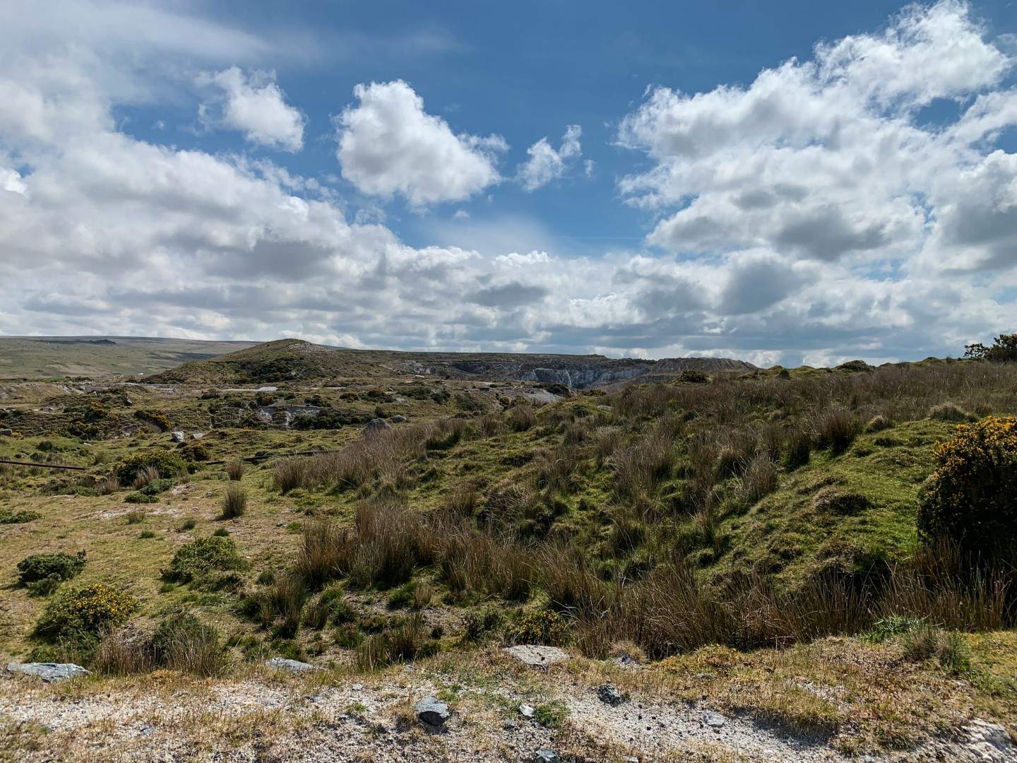
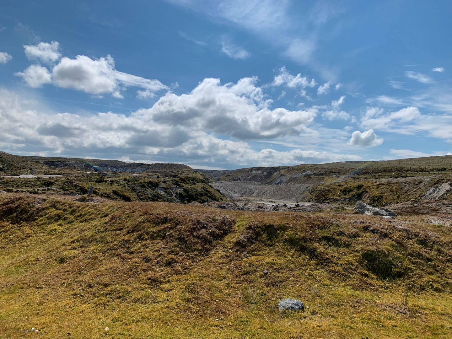
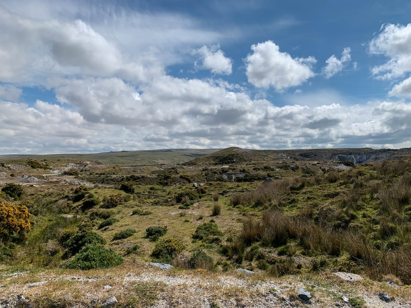
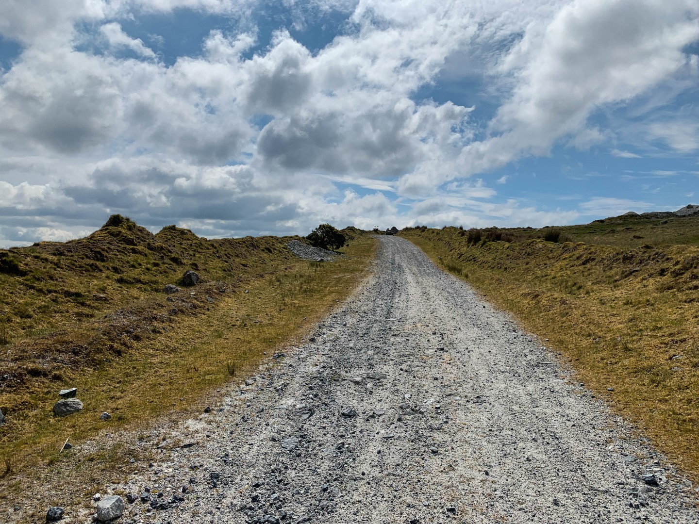
 As I drove along the road crossing Shaugh Moor toward Wotter I found myself glancing up at the massive spoil heaps left over from the China Clay mining and decided to change my plans and go exploring instead. Now before I go any further I should add a disclaimer and say that I am not entirely sure of the legality of walking where I did. The paths I took were completely open and at no point did I have to climb over, break through or open anything. The route was easily accessible and completely open. There are signs warning of ‘operations’ but I didn’t see a single one instructing me to ‘keep out’. If you choose to explore this area please use your common sense and respect the environment you are in. It is a heavily industrial area and there are plenty of things that can hurt you, so please just walk, stick to the paths, take care, look and don’t touch! If you are asked to leave the area, please do as instructed immediately. I won’t be held responsible for your actions!
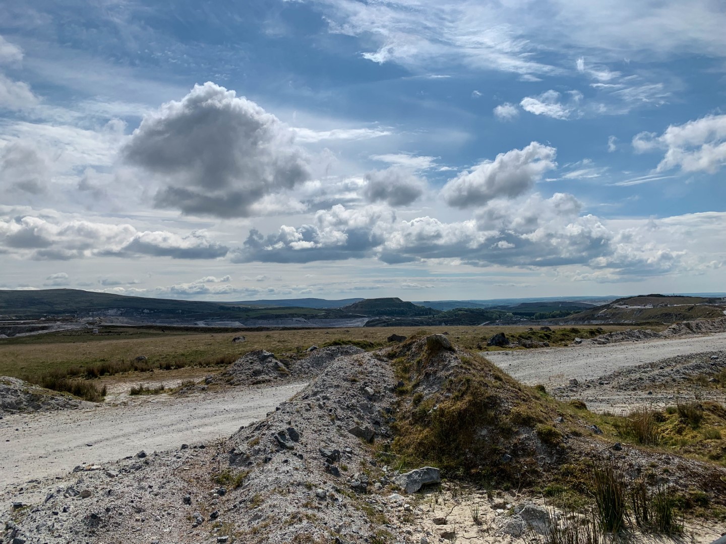
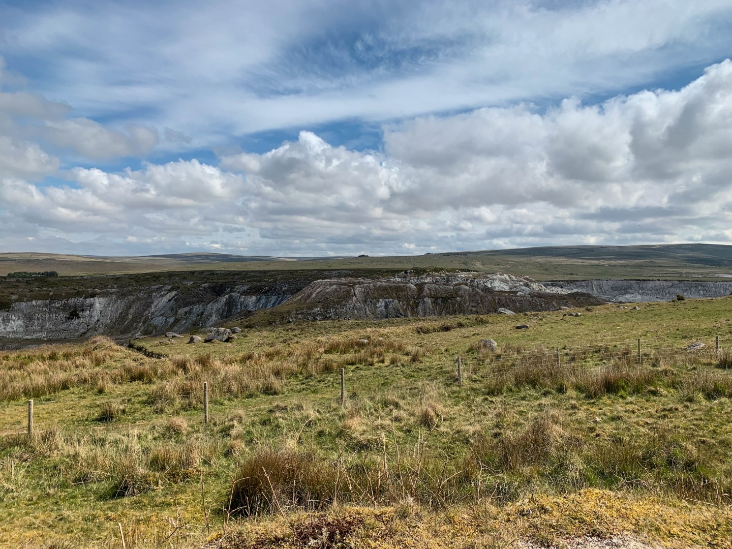
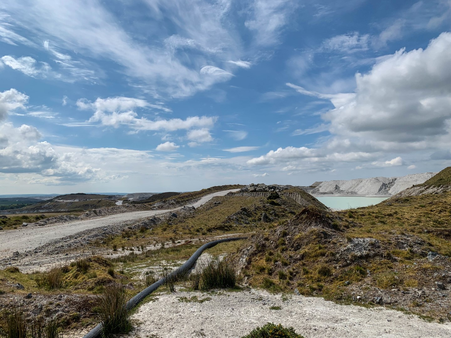
 I parked my car at the entrance to Brag Lane at the southern end of Shaugh Prior (SX551633), crossed over the main road and picked up a rough track which took me between one of the old spoil heaps and Sadddlesborough common. The path joined one of the old quarry tracks which gently climbed up to a mica damn perched up high above the main quarry floor. Mica Dams are large deep pools of water which are filled with the waste from the China Clay processing. The waste slurry is pumped in and the solids separate out and sink while the water flows out and is reused elsewhere in the process. There are many old dams in this area although most of them have long been abandoned and totally filled in with overburden & spoil.
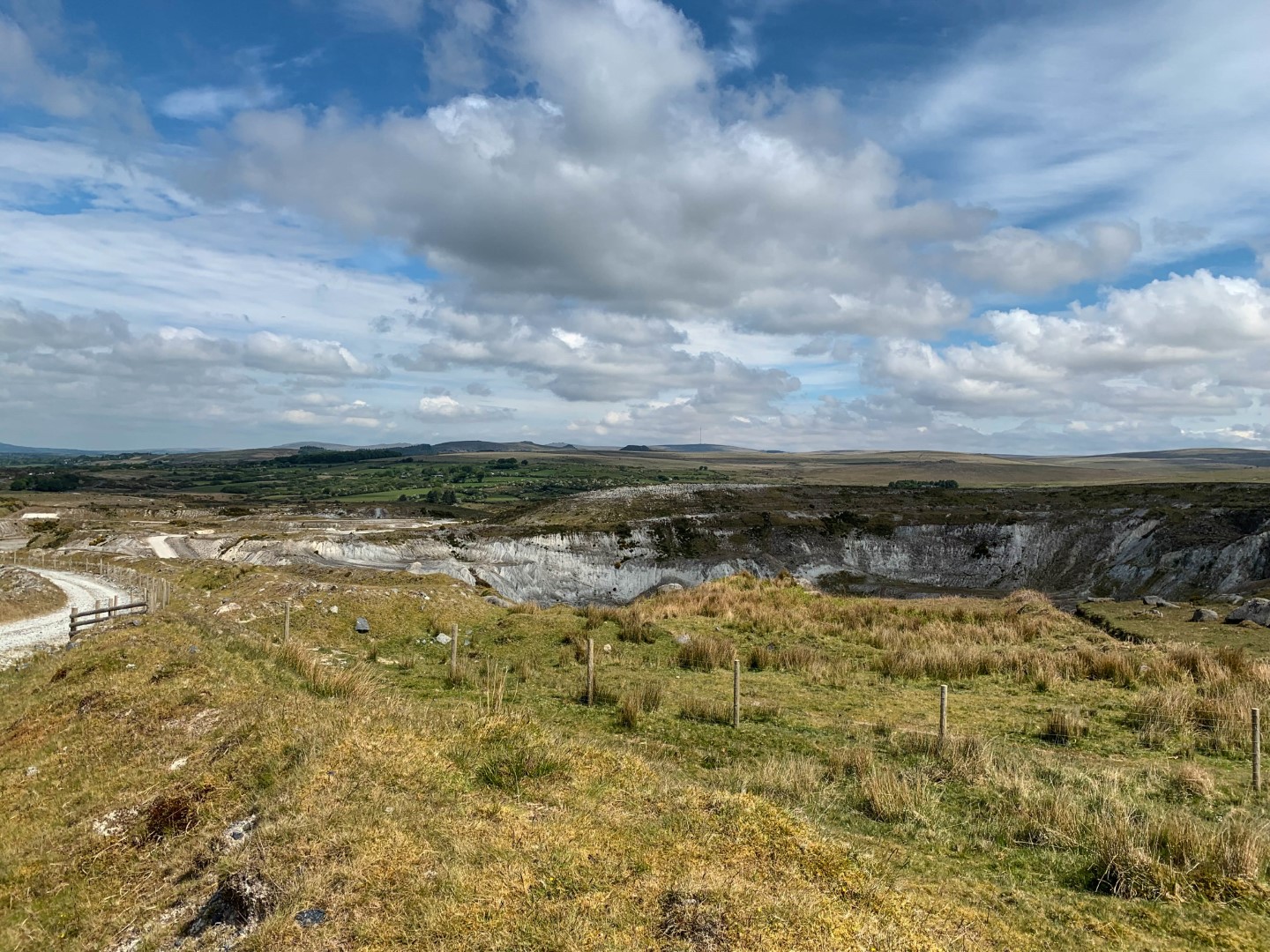
 China Clay is used in many things from the manufacture of porcelain and china through to paint, rubber, paper and many other products, even toothpaste. It is formed by the decomposition of granite which breaks down over time and forms, amongst other things, Kaolin. This is then ‘washed’ out of the ground through hydraulic mining, using high pressure monitors / water jets to blast it out of the ground. The slurry passes through a series of ‘thickeners’ or graders, where impurities such as mica, feldspar & quartz (which are all present in granite) are removed. What is left is then intensively processed using techniques such as cyclone refining, grinding, centrifuge separation, magnetic separation (passed through large electromagnets to remove iron molecules) and bleaching (to improve whiteness). The overall quality of the refined clay is defined by measuring the content of potassium & iron, its brightness and viscosity.
 Kaolin has been mined on Dartmoor since the early 1800s and at its peak in the 1980s, Lee Moor was producing approximately half a million tonnes per acre per year. Combined with the larger operation north of St Austell, Kaolin mined in Devon & Cornwall is the most profitable mineral mined in the UK, as 80% is exported. That 80% represents 40% of the world’s total Kaolin production. Over the last 15 years the companies that run Lee Moor (and the sister operation in Cornwall) have reduced production and in more recent years there has been more interest and investment in the Drakelands Tungsten mine at nearby Hemerdon (which unfortunately closed in 2018). However China Clay still plays a large part in our local economy here on South Dartmoor and is still important to the area.
I continued to wander along the wide tracks left by the huge dump trucks that the mine operate. At times all I could see was the white waste material with no sign of any greenery. It made for a very surreal experience and for a few moments here and there it resembled those famous moonscape photographs returned by the Apollo missions. I spent an hour or so just following the tracks before making my way back down to the car. Not the walk I had planned originally however it made a nice change and was interesting.
Walk Summary
 Distance
 Ranges
 Bogs
Bogs
 Difficulty
Route
Download my GPX file
Photos from this walk